
Resolution imaging spectroradiometer data.

Of methods for mapping global snow cover using moderate Hall, Dorothy K., Riggs, G.A., Salomonson, V.V., 1995. (Eds.), Into the Second Century of World Glacier Monitoring– Historical evolution and operational aspects of Glacier mass balance: the first 50 years of GLIMS hopes to eliminate the inconsistencies of glacier measurements with a set of established standard processing protocols.īraithwaite, R.J., 2002. I still don’t see how they can do it with debris covered ice though…. Researchers are trying to develop automate ways to dilineate glaciers from satellite imagery but this is still in progress. One of the big issues in the research done in this project was the large variability in the size of the change due to inconsistencies of what a “glacier” was defined as in earlier studies compared to today. It is going to be very important to make sure to only look at glacier change, not snowfield change. WGMS compiled the World Glacier Inventory – first inventory at a global scale. This would show shifts in elevation over the years as well. Debris covered ice was spot checked with ground-based photographs when available. For debris covered ice they manually digitized the outline using a slope map and a color composite of SPOT bands 4, 3 and 2 displayed as red, green, blue respectively. The used an Normalized Difference Snow Index (NDSI) with Spot bands 1 and 4 (green and mid-infrared) for the initial raw ice outline. This paper is about looking at change in the Cordillera Blanca glaciers by comparing GLIMS data to historical data. World Glacier Monitoring Service (WGMS) – established in 1986 but since then glaciers became part of the Global Climate Observation System (GCOS) and the Global Hierchical Observation Strategy (GHOST) which are both programs operated by the World Meteorological Organization (WMO), the Intergovernmetal Oceanographic Commission (IOC), the International Council of Scientific Unions (ICSU), and the United Nations Environment Programme (UNEP). I was able to access the NSIDC glacier viewer though and will look at this further.
#GLIMS AND NSIDC WINDOWS#
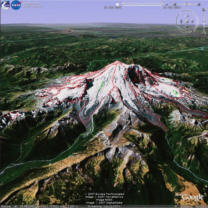
NSIDC has a great graphical interface (GISMO) for obtaining data but I need to be on Windows to use. There are also places in the metadata table for each glacier for error such as absolute and relative. The GLIMS glacier database is an extention of the World Glacier Inventory (WGI) that is meant to add snapshots over time. If glaciers split there is a field in the database table to show parent glacier as well. Main product of project is the Glacier Database which can be accessed online. Coordinated by the University of Arizona. Data is received by the Global Land Ice Management from Space (GLIMS) Project team at the National Snow and Ice Data Center (NSIDC) in Boulder. Goal is to use multispectral satellite imagery to inventory glaciers and understand change in terms of climate and other env. “Stewards” are responsible for individual glaciers. Each center is responsible for a certain subregion. Each institution is called a regional center. 60 institutions world wide with goal to inventory world’s estimated 160,000 glaciers. The GLIMS geospatial glacier Database: A new tool for studying glacier change.


 0 kommentar(er)
